 Know Waves
Know the water before you're on it.
Chart or auto-build your route, share your position with crew, and record the conditions you run into — plus a wave-height chart of every trip and live, crowd-sourced sea conditions from boaters near you.

Everything you need on the water
One app for the whole trip — from planning the route to knowing what's happening out there right now.
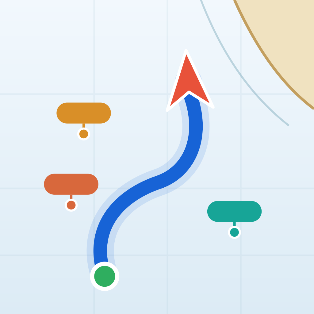
Route Charting & Auto-Route
Draw a route by hand, tap in waypoints, or import one from Navionics as a GPX file — or drop a start and destination and let Know Waves auto-build the route for you.
Wave-Height Chart
As you run, your phone senses wave height and period. Arrive and you get a chart of the whole trip, with a thumbnail of your route and any conditions reported along the way.
Crowd-Sourced Conditions
See wave height, weather, debris, wildlife, and Coast Guard sightings reported by boaters nearby — with photos and video, updated live on the chart.
Report From the Water
Tap to report what you're seeing and add a photo or video. Know Waves can even remind you to report as conditions change on your route.
Tracks
Automatically record the path you actually traveled. Save your tracks, show them all on the chart with one tap, and reuse a favorite run any time.
Live Position Sharing
Share your real-time position and ETA with the crew and contacts on your float plan while you're underway.
Float Plans
Log your vessel, crew, departure and ETA, and rescue-authority contact before you leave the dock — then reuse it next time.
Weather, Tides & Alerts
NWS weather alerts and a live NOAA tide curve for the nearest station, right on the chart screen.
Boat & Crew Profiles
Save your boat's details and your regular crew once, then reuse them across every trip and float plan.